CRM Professional
Training Program
Each summer, the Alabama Historical Commission hosts the Cultural Resource Management (CRM) Professional Training Program at Old Cahawba Archaeological Park. Participants learn archaeological field methods through five weeks of in-person fieldwork, specialized training, and instruction led by AHC archaeologists and visiting specialists.
The eight-week hybrid program begins with three weeks of online lectures through Northwest Arkansas Community College (NWACC). The program is open to everyone; you do not need to be a NWACC student to apply. The cost of the NWACC microcredential is included in the program fee for every participant, with an optional three academic credit hours available through NWACC.

The Alabama Historical Commission is Alabama’s official historic preservation agency and serves as the State Historic Preservation Office. Its mission encompasses archaeological sites, historic buildings and districts, cemeteries, cultural landscapes, and other resources that document the state’s long and complex history—from Indigenous occupation through the twentieth century and the recent past.
Through archaeological stewardship, historic-site management, regulatory review, preservation programs, technical assistance, research, and public education, AHC works to ensure that Alabama’s cultural resources are responsibly documented, interpreted, and preserved for future generations.
The program advances AHC’s commitment to:
- Workforce development. Strengthen Alabama’s professional archaeological workforce by preparing participants for entry-level CRM employment.
- Practical experience. Bridge the gap between academic instruction and the expectations of professional fieldwork.
- Public understanding. Expand awareness of archaeology, historic preservation, and cultural resource management.
- Access to training. Provide accessible and affordable technical training to students and emerging professionals.
- Archaeological research. Produce meaningful research supporting Old Cahawba’s preservation and interpretation.
- Professional connections. Build relationships among students, government agencies, private CRM firms, universities, nonprofit organizations, and preservation partners.
Located at the confluence of the Alabama and Cahaba rivers in the heart of Alabama’s Black Belt, Old Cahawba is the site of Alabama’s first state capital and one of the Southeast’s most significant archaeological landscapes. Cahawba served as the state capital from 1819 to 1826 before developing into an important antebellum river and commercial town.
Its archaeological record preserves evidence of Indigenous occupation, early statehood, urban development, slavery, the Civil War, emancipation, and Reconstruction.
Cahawba’s history did not end with the removal of the state capital or the decline of its antebellum economy. Following the Civil War, formerly enslaved residents acquired property, established homes and institutions, and shaped the town into an important center of African American community and political life.
Their homes, institutions, and community life remain central to the park’s interpretation and archaeological research.
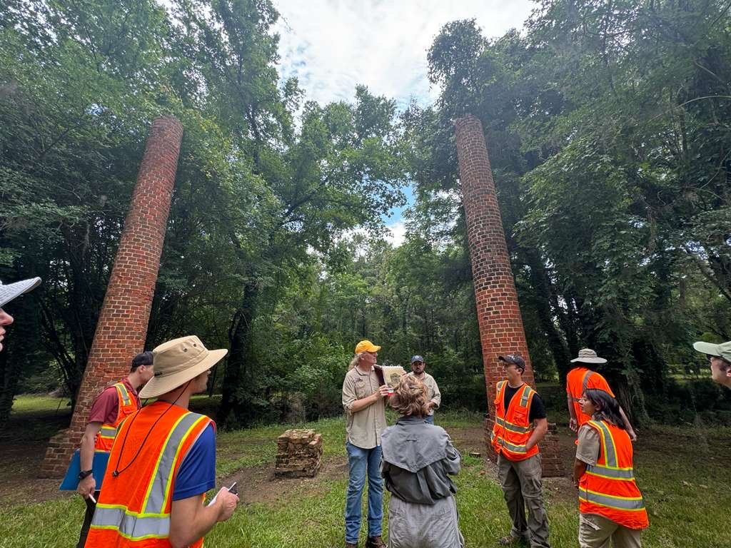
The cultural resources preserved at Old Cahawba
- Buried foundations associated with the state-capital period and historic downtown.
- Domestic sites connected to free and enslaved residents, including houses, kitchens, outbuildings, and activity areas.
- Post-emancipation homes and other resources associated with Cahawba’s African American community.
- Historic streets, town lots, gardens, wells, and other features of the designed landscape.
- Cemeteries, burial landscapes, and culturally sensitive preservation areas.
- Archaeological deposits reflecting Indigenous occupation and centuries of activity along the two rivers.
An outdoor classroom
As a National Register-listed site, Old Cahawba brings these histories together within an actively managed archaeological landscape. Research here informs how the park preserves and interprets the places where successive communities lived and worked.
Old Cahawba on FacebookPrevious projects
Research and training projects from the 2026 season. Select a project to read more.
Cemetery Preservation WorkshopNew Cemetery at Old CahawbaJune 29–July 3, 2026
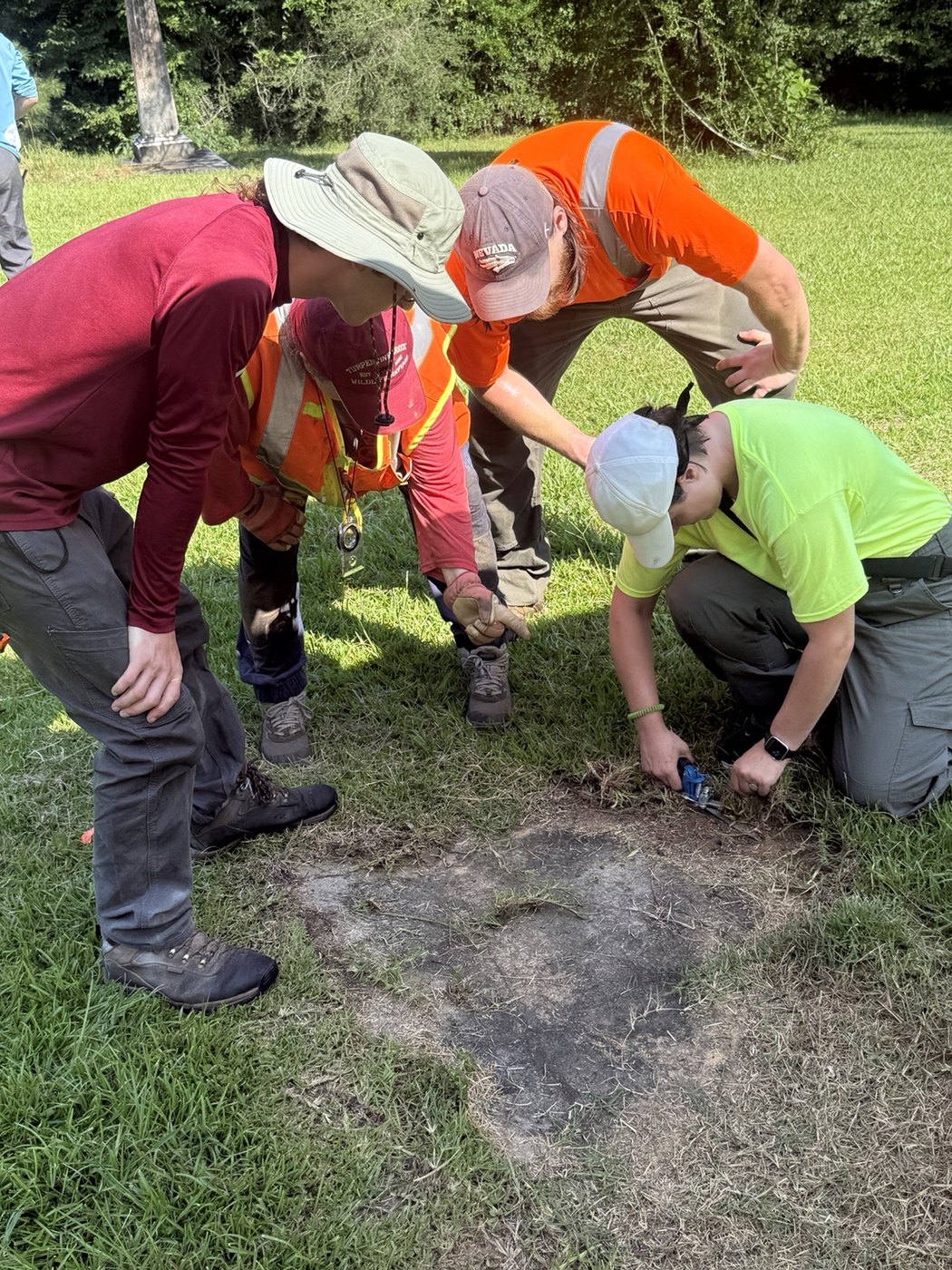
The New Cemetery workshop focused on cemetery preservation within an actively managed historic site. It connected the care of burial grounds with the broader archaeological responsibility to document and preserve cultural resources.
Photogrammetry WorkshopNew Cemetery at Old CahawbaJune 29–July 3, 2026
This workshop used the New Cemetery as a setting for photogrammetric documentation. Photogrammetry uses overlapping photographs to create three-dimensional records that can support the study and documentation of cemetery features.
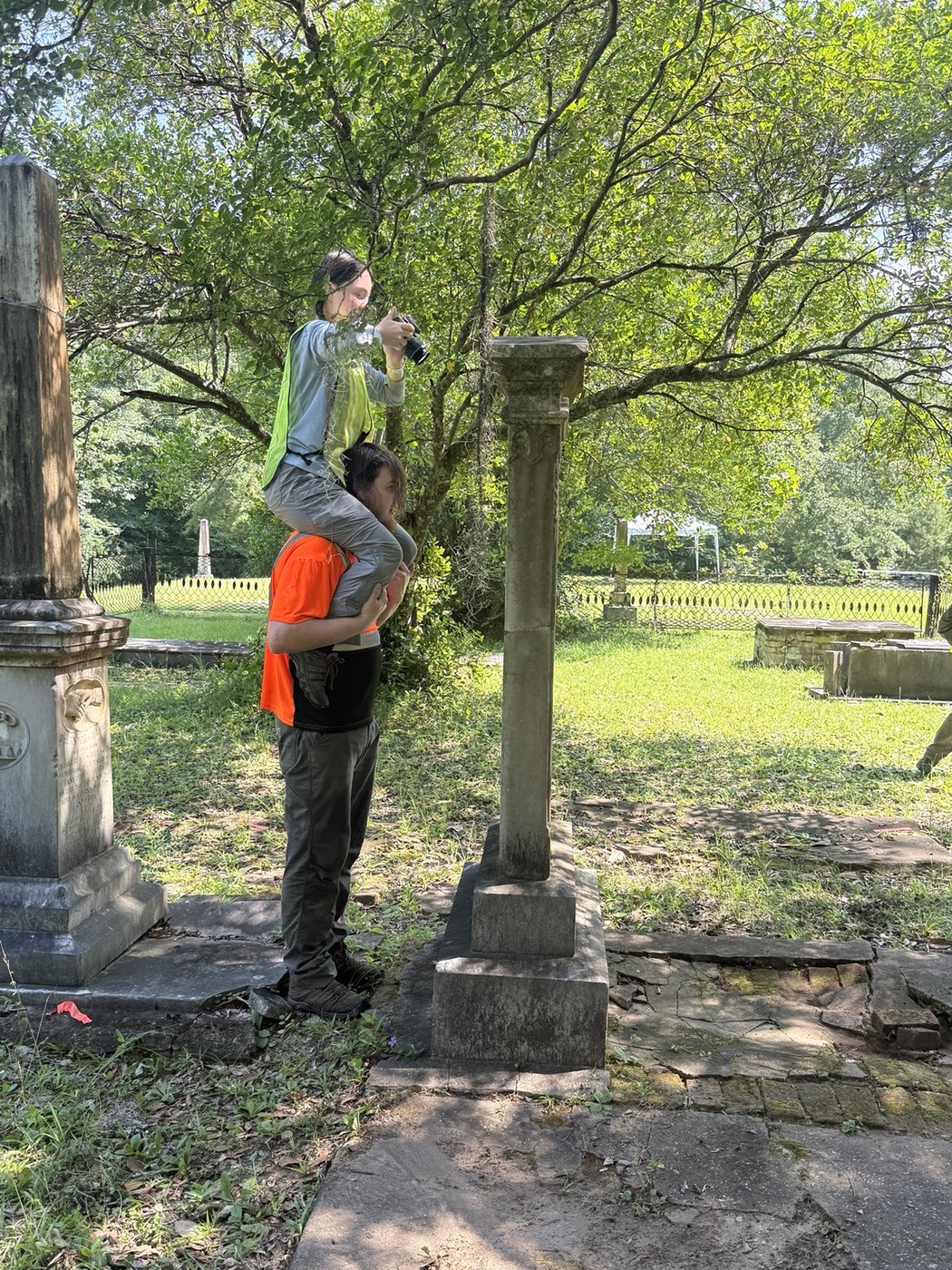
Ground Penetrating Radar (GPR) WorkshopPerine Mansion and environsJune 29–July 3, 2026
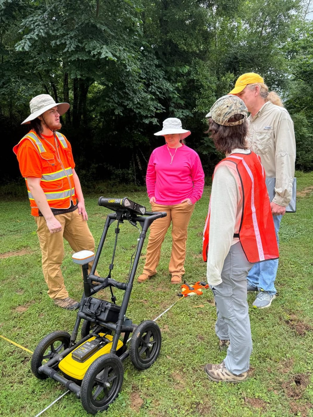
The Perine Mansion grounds and surrounding area were the setting for Ground Penetrating Radar (GPR) training. GPR helps archaeologists examine subsurface patterns and identify questions for further investigation without first opening an excavation.
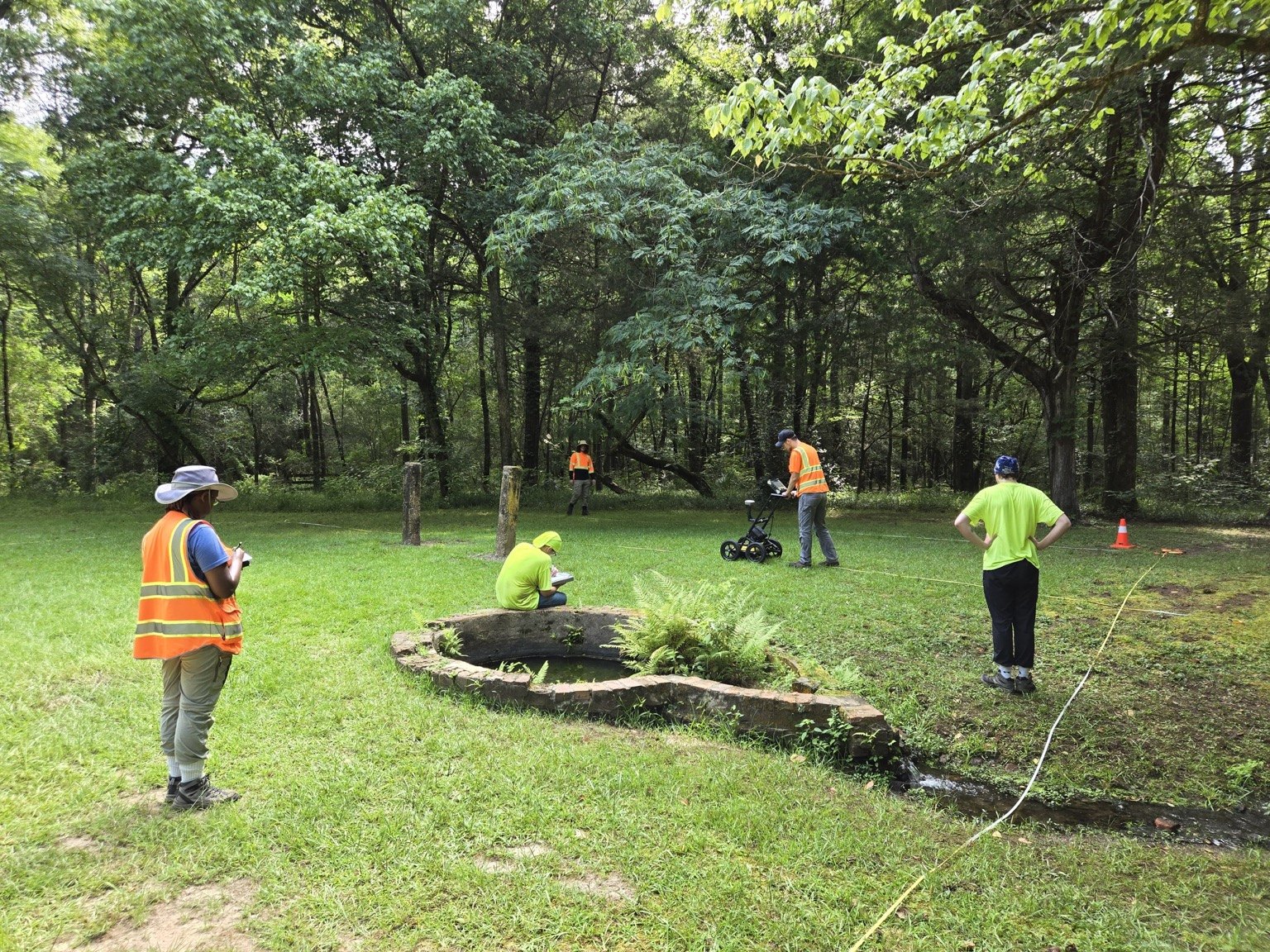
Phase II EvaluationKirkpatrick PropertyJune 1–26 & July 6–31, 2026
Phase II work at the Kirkpatrick Property focused on evaluating archaeological remains through excavation. This kind of investigation examines deposits and features in greater detail to understand their context and research potential.
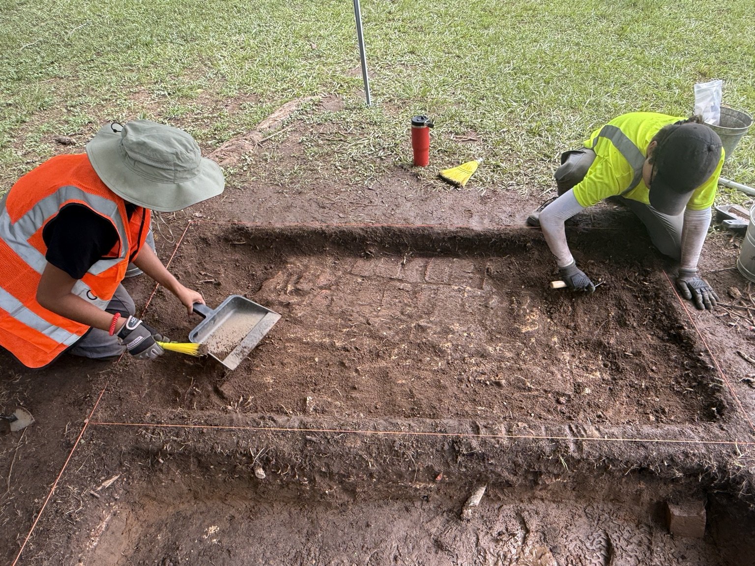
Phase I SurveyHistoric DowntownJune 1–26 & July 6–31, 2026
The historic downtown survey addressed the distribution of archaeological evidence across the landscape. Phase I survey provides an initial record of where deposits occur and helps identify areas that may warrant further investigation.
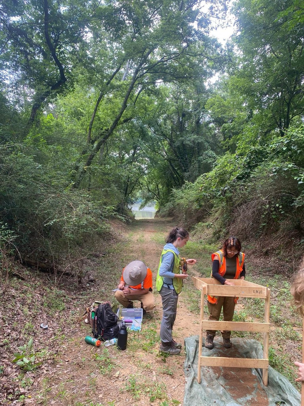
GIS WorkshopAfrican-American Burial GroundMay 25–29, 2026
The African-American Burial Ground provided the setting for GIS training. Geographic Information Systems (GIS) bring mapping and descriptive records together, supporting the documentation and management of a burial landscape.
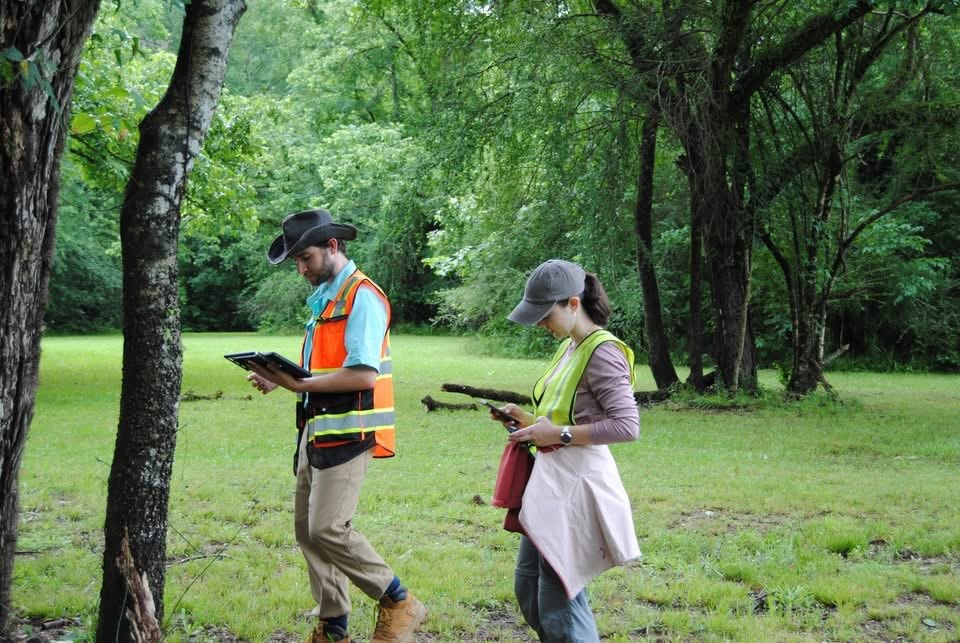
Photogrammetry WorkshopCapitol Cemetery at Old CahawbaMay 25–29, 2026
The Capitol Cemetery workshop focused on photographic recording and three-dimensional documentation. Photogrammetry provides a way to study the form and surface detail of cemetery features through digital models.
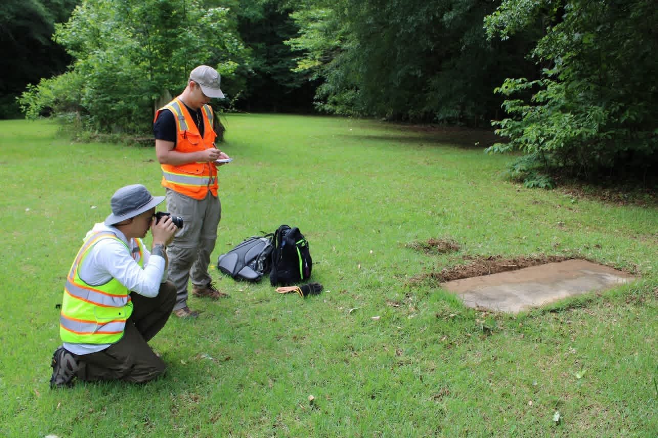
Ground Penetrating Radar (GPR) WorkshopWhite’s Tavern and environsMay 25–29, 2026
Ground Penetrating Radar (GPR) training at White’s Tavern and the surrounding area introduced subsurface investigation in a historic-town setting. Radar data can guide archaeological questions, but interpretations must be evaluated alongside other evidence.